
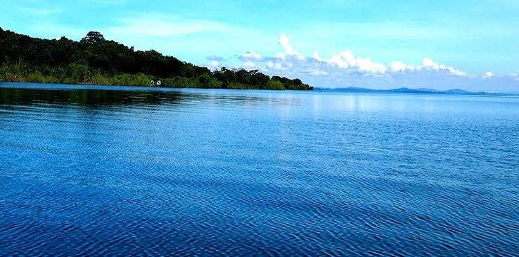
Kampala — Africa’s largest freshwater lake, Lake Victoria, has been captured in stunning aerial photographs that reveal its vast expanse, intricate shoreline, and surrounding ecosystems. Spanning approximately 68,800 square kilometres, the lake borders Uganda, Kenya, and Tanzania, and is a critical source of water, food, and livelihoods for millions of people in the region.
The aerial imagery, taken by drone and light aircraft operators, highlights not only the lake’s natural beauty but also its economic and ecological importance. Fishermen, transport operators, and communities living along the shores rely heavily on Lake Victoria for sustenance and income. The photos also reveal the dense network of islands and peninsulas, which are home to diverse wildlife and serve as crucial breeding grounds for fish species.
Environmentalists, however, point out that the aerial view also reveals the challenges facing the lake. Invasive water hyacinth, areas of water pollution, and encroaching settlements are visible in some parts, illustrating the pressures on this vital natural resource. Experts say that monitoring the lake from above provides a valuable tool for planning conservation efforts, tracking illegal fishing, and understanding the impacts of climate change on water levels and biodiversity.
Tourism authorities have expressed interest in leveraging such imagery to promote eco-tourism and increase awareness of the lake’s significance. The visuals provide an opportunity for both Ugandans and the international community to appreciate Lake Victoria’s scale and its role as the lifeline for East Africa.
As Africa’s largest lake by surface area, Lake Victoria remains a symbol of regional cooperation and shared resources. Initiatives from Uganda, Kenya, and Tanzania continue to focus on sustainable management, ensuring that future generations can benefit from the lake’s ecological, economic, and cultural value.